


47 km | 82 km-effort

Benutzer


Kostenlosegpshiking-Anwendung
 SityTrail
IGN / Geografische Institute
SityTrail World
Die Welt öffnet sich für Sie
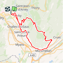
Tour Mountainbike von 38 km verfügbar auf Auvergne-Rhone-Alpen, Savoyen, La Ravoire. Diese Tour wird von tracegps vorgeschlagen.
Circuit proposé par Alpes Tour Ce parcours permet de découvrir un massif très intéressant des Bauges, le secteur du lac de la Thuile et sa descente sur Montmélian. Cette sortie est à faire de préférence l'automne pour les couleurs, le lac et la traversée dans les vignes. La suite est ICI


Laufen

Wandern

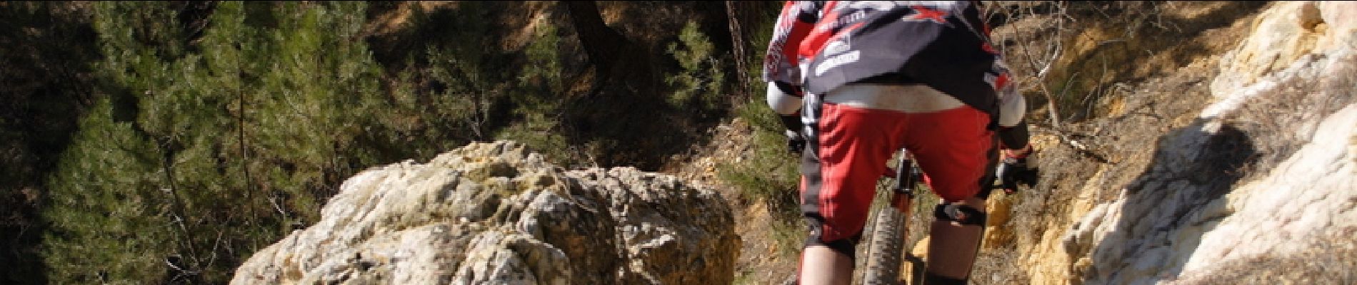
Mountainbike

Fahrrad

Wandern
Mountainbike

Wandern
Wandern
Hybrid-Bike